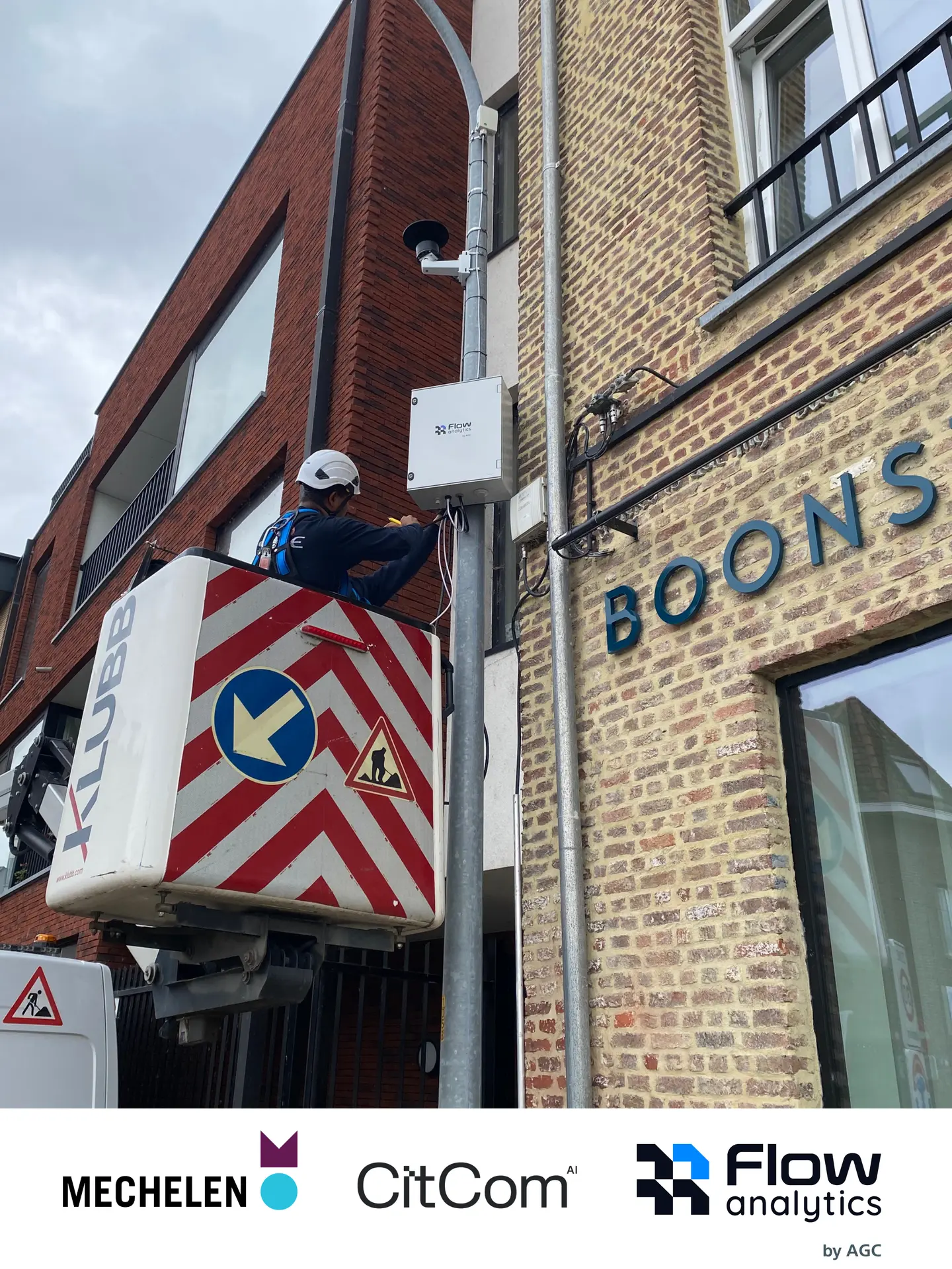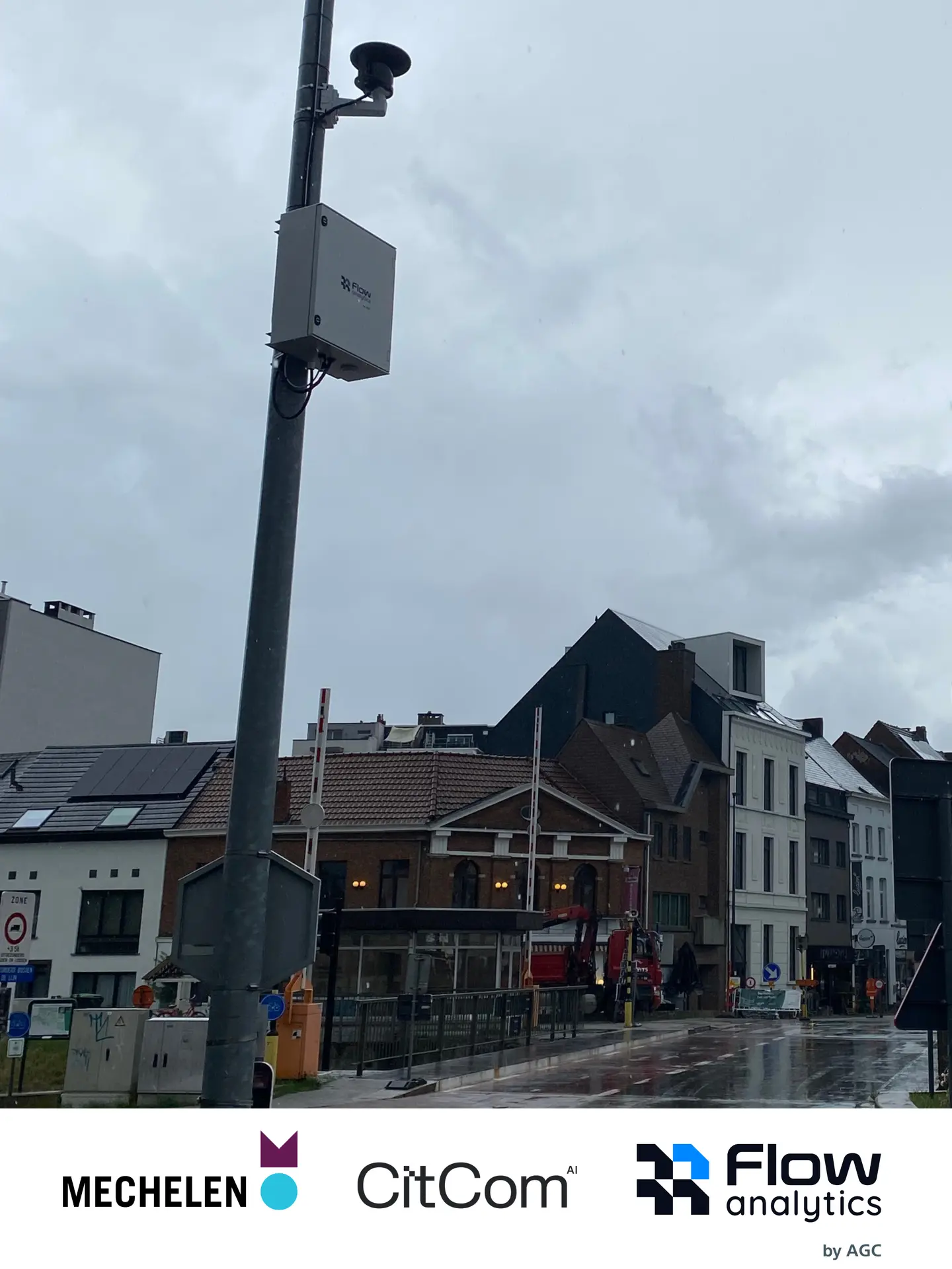
How do we make sure deliveries, cyclists, pedestrians and other traffic can all find their place in a busy city? A new pilot in Mechelen, Belgium, will explore how better insights into street use can support decisions about urban mobility and public space.
Urban logistics are indispensable to city life. They supply our shops and services and bring parcels to our homes. At the same time, delivery vehicles share streets with cyclists, pedestrians and other traffic. Understanding how these movements interact is an important step towards meeting the needs of everyone using the streets.
That is why the City of Mechelen is teaming up with Flow Analytics by AGC, Fluvius and SPIE Belgium for a new pilot within CitCom.ai. Using privacy-conscious LiDAR technology, the pilot will help us better understand how vehicles, cyclists and pedestrians move through the city and interact with logistics traffic.
The focus goes beyond counting road users. By studying movement patterns and interactions, the project aims to provide a clearer picture of how streets are actually used and how logistics fit into everyday urban mobility. These insights can help the city assess local needs and make more informed decisions.
The goal is simple: better insights for better decisions. With a stronger understanding of street use, Mechelen can continue working towards mobility and public space that combine accessibility, road safety and quality of life.
The pilot is also an opportunity to test how innovative technology can support evidence-based decisions in a real urban environment, connecting technological capabilities with the practical questions cities face.
Follow the project to discover what we learn.